Use Cases
How our Digital Twin, network modelling, and VR/AR technologies are being applied to real autonomous transport challenges across the UK
Digital Twin & Network Modelling
Merging GIS 3D city data with network modelling to create a living digital twin of UK transport infrastructure
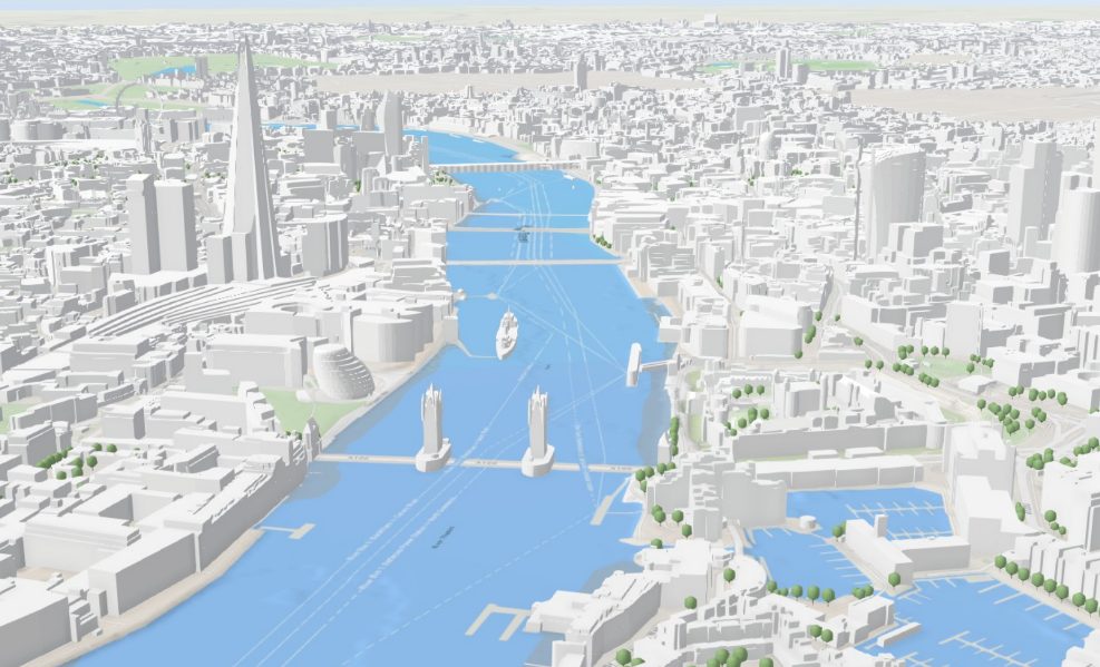
Digital Twin of UK Infrastructure for AVs
We merge complex GIS 3D city data with advanced digital twin modelling and AR visualisation to enable comprehensive testing scenarios and precise assessment of autonomous vehicle deployment success across diverse UK infrastructure.
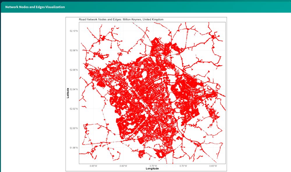
Road Network Nodes & Edges Visualisation
Granular graph-based modelling of every junction and road segment - shown here for Milton Keynes - underpins our route optimisation, infrastructure assessment, and agentic AI decision-making across a town or city's entire road network.
Fleet Data Acquisition & Optimisation
Our SaaS Digital Twin Platform uses sensor-equipped vehicles and an online mobile app to enable UK councils and SMEs to optimise fleet operations and energy planning - supporting dynamic journey planning, EV integration, autonomous vehicle readiness, and Net Zero 2030 objectives.

AR Simulation of AV Deployment Scenarios
Augmented reality testing scenarios let us simulate autonomous vehicle deployment against our digital twin before it happens on the road - enabling comprehensive testing and a precise assessment of deployment success across diverse UK infrastructure.
VR/AR for Autonomous Taxi Passengers
Building public trust in autonomous vehicles through immersive VR and AR training and onboard experiences

VR on Autonomous Taxis - Boarding the Vehicle
AI and AR solutions that build user familiarity and trust with autonomous taxi services. A user wearing a VR headset is guided through an autonomous taxi parking safely and approaching it - an immersive experience that shows people exactly how to approach and board these vehicles safely.

VR on Autonomous Taxis - Onboard Experience
A simulated onboard experience where the passenger interacts with a holographic route-selection panel - Fastest, Cheapest, Panoramic, or Safest - and approves their journey before it begins. This intuitive interface builds trust and confidence in autonomous travel for both passengers and the organisations deploying these vehicles.
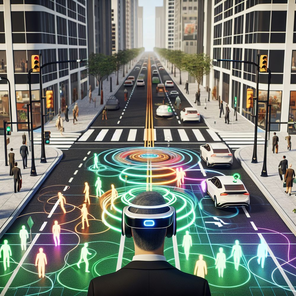
VR/AR for Transport Infrastructure Planners
Giving planners an immersive, data-rich view of how pedestrians and autonomous vehicles will interact before deployment
VR for Transport Planners - Pedestrians
A first-person VR simulation of a busy urban avenue where autonomous vehicles, equipped with sensors and LIDAR, navigate a crowd of pedestrians. A semi-transparent heatmap overlay visualises pedestrian movement, highlighting compliant and high-risk crossing areas - helping planners understand risk before vehicles ever hit the road.

Autonomous Vehicle Route Safety & Deployment
An AR Ground Map overlays real city streets with luminous pathways for major highways and intersections. A heatmap encodes deployment risk - green for low risk, yellow/orange for moderate, and red for high-risk zones - alongside traffic density data, giving planners the insight to make informed, data-driven deployment decisions.
Want to See These in Action?
Get in touch to discuss a pilot, demo, or collaboration based on any of these use cases.
Contact Us